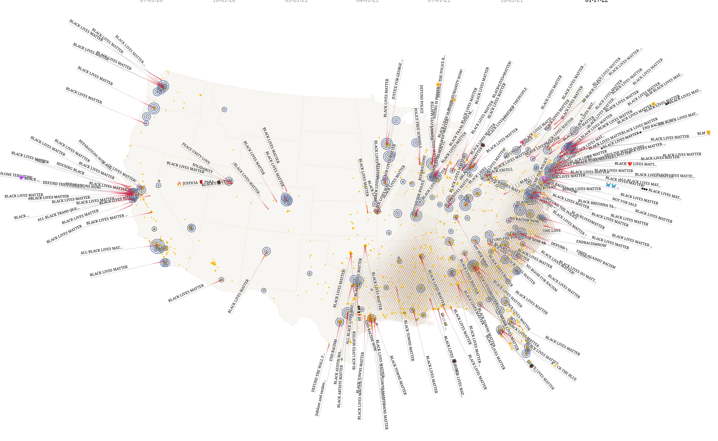
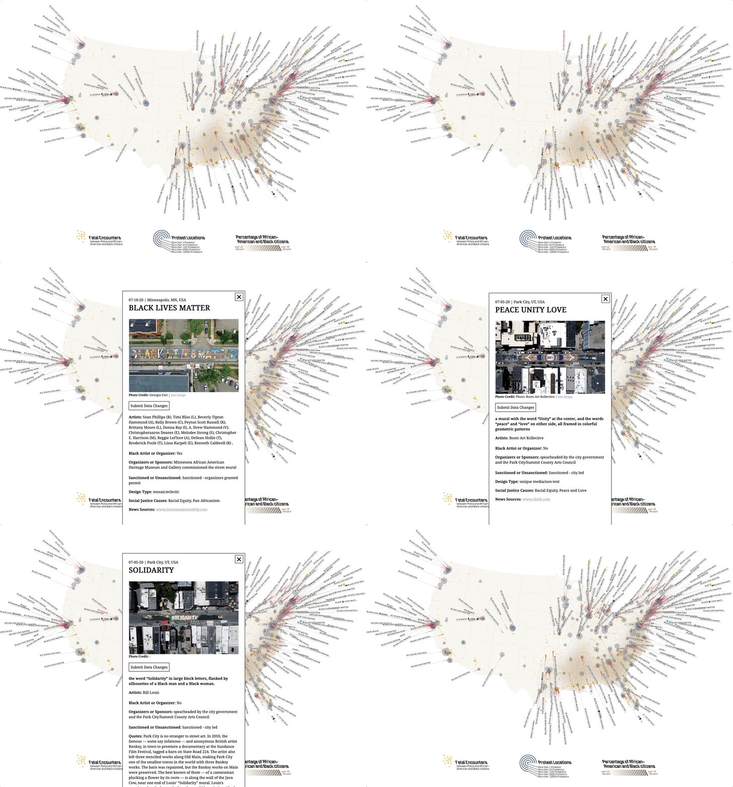
Black Lives Matter Street Mural Map
The Black Lives Matter Street Mural Map documents and visualizes street murals with the goal of understanding these artworks and their viral spread, showcasing (especially black) artists, and holding communities accountable for change beyond paint on pavement.- Time
- –
- Location
- New York, USA

Following the murder of George Floyd at the hands of Minneapolis police in the summer of 2020, a vital trend propagated throughout the country and even internationally as communities—big and small, urban and rural, sanctioned and unsanctioned—engaged in a memetic dialogue of installing and remixing anti-racist artworks on their streets. The Black Lives Matter Street Mural Map—an open research project created as a collaboration between the Kennedy School’s Belfer Center (Stephen Larrick) and metaLAB (at) Harvard & FU Berlin (Kim Albrecht)—documents these works as a research database and as a map featured in the Designing Peace (2022 – 2023) exhibition at the Cooper Hewitt Smithsonian Museum of Design in Manhattan.


